RealityCapture has long been a leading photogrammetry software tool used to automatically generate high-precision 3D models from photographs. Its strength lies in its speed and accuracy, making it a popular choice across surveying, cultural heritage preservation, and...
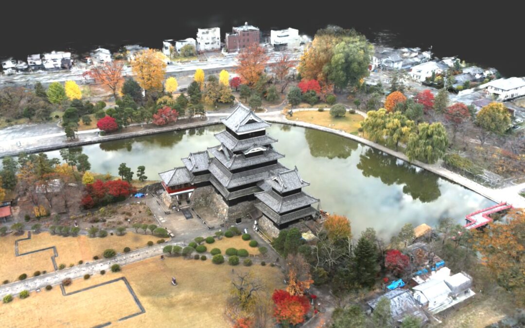
Thanks to the evolution and growing accessibility of drone technology, capturing high-resolution data from the sky has never been easier. Creating 3D models from aerial data has become increasingly valuable across a wide range of industries including construction,...